CEDAR BOX

What is Cedarbox?

Cedarbox is a secure, web-based, map-enabled application for promoting collaboration and managing consultation, which combines records management with spatial analysis.

Why use Cedarbox?

  1. Secure
  2. Easy to use
  3. Collaborative
  4. Spatial
  5. Extendable
  6. Rich business intelligence
  7. Knowledge mobilizing
  8. Mobile friendly
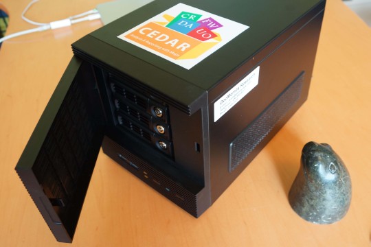
  9. Secure on your mini-server or,
  10. Secure on our Cedar Cloud

SECURE APPS FOR STEWARDSHIP

Development

Development

Track and analyse project and permit applications, including Crown referrals.

Highlights:
  • Contacts Relationship Manager
  • Rich per-project information
  • Geographic Information System tools
  • Spatial analysis
  • Upload planning layer Shapefiles
  • Email Harvesting (with files)
  • Team discussion
  • Field visit reports
  • Desktop GIS LiveLink
Heritage

Heritage

Gather and manage traditional knowledge.

Highlights:
  • Upload TUS/TEK Shapefiles
  • Documents cataloging
  • Powerful search, including in-PDF search
  • Geographic Information System tools
  • Place-name & toponym database
  • Archaeology reports
  • Field visit reports
  • Interview management
Ecosystems

Ecosystems

Manage Mobile Field Forms data

Highlights:
  • Manage your Ecosystems GIS database (cataloging)
  • Upload key Ecosystem spatial layers
  • Mobile field forms management tool
  • Geographic Information System tools
  • Exploration and reporting interface
  • Ecosystem integration into DevelopmentApp and HeritageApp